On Labor Day 2022 I bought a used kayak from Paddle Boston in Waltham and spent a year exploring the rivers near Boston. The above map provides guidance on where one can put in and if you click on each pin, you’ll get my very short write-up of each spot.
Below is a list of rivers I’ve visited with some practical information and my general impressions. I’m also into birding and photography so I’ve included some photos and details on the birds and wildlife I’ve encountered.
Metro West Boston – click for Assabet, Concord, Sudbury, Charles rivers and more
Lots of information on Metro West page including details on where to put in, photos, what it’s like to paddle there.
North of Boston and farther afield
Ipswich River
In Topsfield there are two put-in spots (see map above), including one on Route 97 where there’s access to a bike path as well. Then there’s the Ipswich River Canoe Launch on Ipswich Road near Bradley Palmer State Park. Between these two spots lies a very large swamp, the Wenham Swamp, which makes for excellent kayaking/canoeing. Big open areas with lots of wildlife, including all kinds of birds and many signs of beavers (I saw dozens of lodges on my last trip.) There are three islands where you can get out and take a break, have a picnic, etc.
Generally, it’s very quiet although the river goes along Ipswich Road for a while and there are houses here and there. From Route 97 going downstream, you will pass the Mass. Audubon Ipswich River sanctuary (where you can rent canoes.) As it’s a swamp, you do need to take some care not to take wrong turns and end up in a dead end of marshy grasses or get turned around.
I’ve done Route 97 to Colt Island and back, which was probably two hours or so (although I did a wrong turn on the way back and ended up covering the same ground again by accident!) I’ve also gone from the Ipswich River Canoe Launch to Colt Island and back, which was about 2 1/2 hours round trip. At the Canoe Launch there’s a map that shows a number of other places to put in on the Ipswich River. Here’s a link to the site with the map and there’s an app to download as well.
Like I said, swampy. Really critical habitat and source of municipal water as well.
Nashua River
Three put-in spots described below with links:
1. In Harvard there is a parking area and fairly steep boat ramp to get in the Nashua River. Going upstream you will see the forest of the Oxbow National wildlife refuge on the right and on the left more open fields. The day I went there in November I heard hunting and went about 45 minutes upstream before I was blocked by a fallen tree. There were a few spots where I had to duck under trees and even push my kayak over a log.
On a second trip in the summer of 2025, I went upstream from Harvard and was blocked by a fallen tree after about a half hour. The flow was pretty gentle and not very hard to go upstream. I returned to the put-in ramp and kept going for another good half hour and found a really nice stretch in the Oxbow National Wildlife Refuge. Spotted some turtles, an osprey, many young wood ducks and few kingfishers.
August 30, 2025 David and I went in in Lancaster on Route 117 right after the bridge going west. There is definitely a current going downstream to the north but we were able to come back upstream without too much trouble although it was quick in parts. We went about a half hour downstream and there was a tree blocking the way. You pass by Bolton Orchards and what looked like other farms. Going upstream past the Route 110 bridge borders wilderness area with just a few big houses. When we got to the confluence with what becomes the Still River in Bolton Flats, it was too dry to pass. Getting back to the car made the whole trip about three hours, going pretty leisurely.
On September 21, 2025 we returned and put in at the Oxbow National Wildlife Refuge boat launch off Still River Depot Road. The current was very slow and water level low after a dry year so far. We managed to portage over some trees blocking the river and go for about an hour and a half upstream south. It’s very twisty and quiet with the Abbey on the left and the refuge and perhaps also Fort Devens land. There were a few spots that were tough to get over logs and we had to get out at a sand bar to continue. But a very nice stretch to the edge of Bolton Flats on the left. Given all the obstacles, this is a challenging direction. Going downstream first (right at the launch ramp) is quite nice too and I haven’t encountered same number of fallen trees.
Bill Ashe Visitors Center at Oxbow National Wildlife Refuge in Devens.
This has two ‘EZ’ kayak launches that make it really easy to get in and out. The route upstream south toward route 2 is pretty wide and quiet with refuge land on the left. It takes less than an hour to get to the route 2 bridge, where there are a couple of bridges to go under. Overall, really nice stretch and the part going upstream toward Harvard is quiet and nice as well, getting a bit more twisting turning once you pass route 2. We only went a short way downstream toward Shirley but that looks promising. There’s hiking as well at the Bill Ashe Visitors Center with mowed trail along the power line. There’s a short walk down a hill toward the dock and launches, making a second person or a wheeled cart pretty handy.
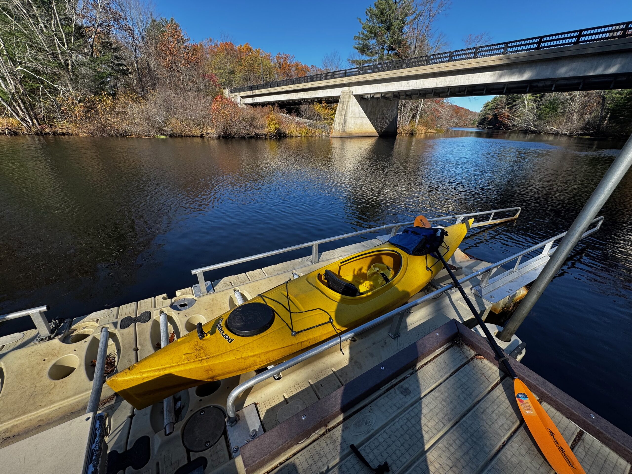

Nice sunny and crisp day in November 2025.
2026 report: Water was pretty high on a trip in mid May, allowing David and me to kayak from the Oxbow National Wildlife Refuge site in Harvard 3+ miles upstream. We didn’t make it all the way to the put-in spot on 117 in Lancaster but the water was high enough to pass — with some challenging spots for sure! For anyone going in at 117, be aware that there’s blowdown maybe a mile downstream which was not passable last fall. But again, doable with a bit of work this spring.
We also discovered a lovely inlet that goes to a lake and ultimately connects to the Still River in Bolton Flats. Zoom in on David’s map below and see the green line.

The view of Bolton Flats from Nashua River going north from Lancaster.

Beautiful view going north down stream toward Route 2 from Oxbow National Wildlife Refuge in Harvard on a warm October day in 2025. Water was very low and almost no current. It’s about 2 and a half miles to Route 2 bridge — no tree blockages.
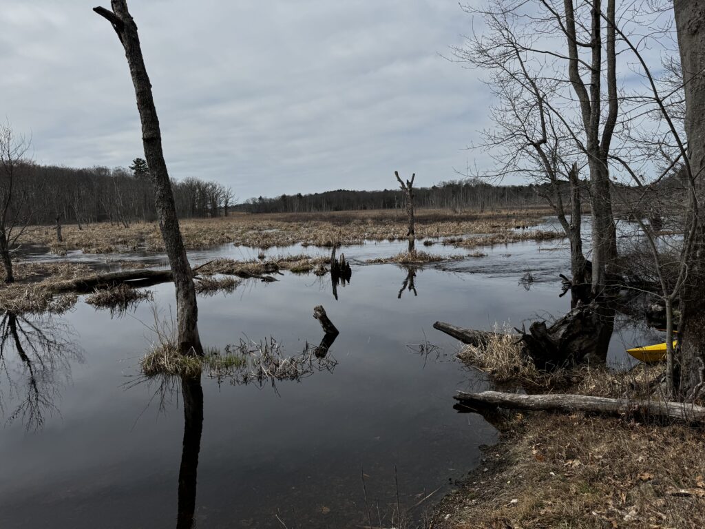
Still River
I would consider this advanced kayaking because the flow, a number of spots that drop down (I think because of beaver blockages/dams), and how easy it is to get lost in the tall grasses. There are two spots to put in in the Bolton Flats Wildlife Management Area but the one I would consider is near the Red Barn in Bolton. Very wild feeling. I got stumped going upstream — couldn’t find where the river continued in wide wetlands and had to turn around. Going downstream towards the confluence with the Nashua River got very narrow and challenging — fallen trees blocked my path on a wet year. I saw a few beaver lodges and came face-to-face with a beaver who popped out of water to give me a look and dropped back down.
I visited the put-in spot at the Bolton Flats Headquarters in August 2025, a pretty dry year, and it looked very swampy and unclear how far you could get. (We didn’t get in the water.)
Saugus River
Challenge is finding a put-in spot, but I managed to leave my car in a parking lot at a shop (details on the map) and go downstream toward Boston Harbor. This is very much urban kayaking as you pass through marinas, past the waste-to-energy plant on the point, under the Lynnway highway, the commuter rail line and big transmission line towers. In terms wildlife, there is a salt marsh that’s along the coast which has a number of birds, such as herons and cormorants.
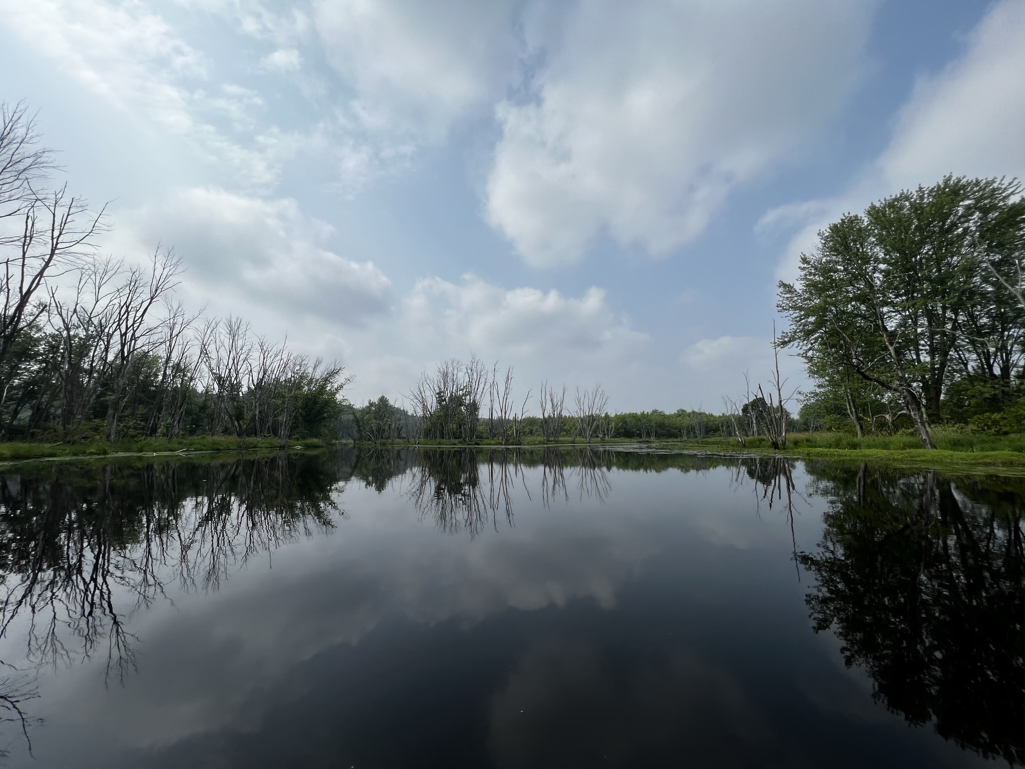
Nice morning shot from a trip in Vermont.